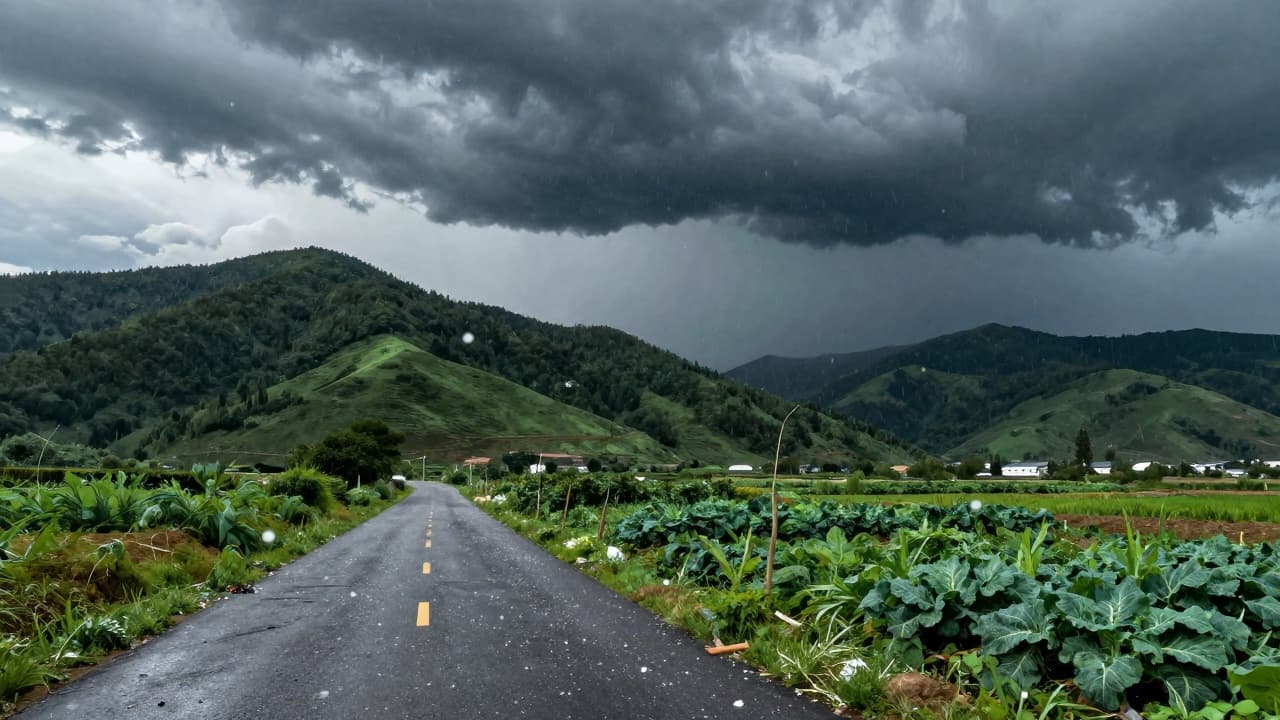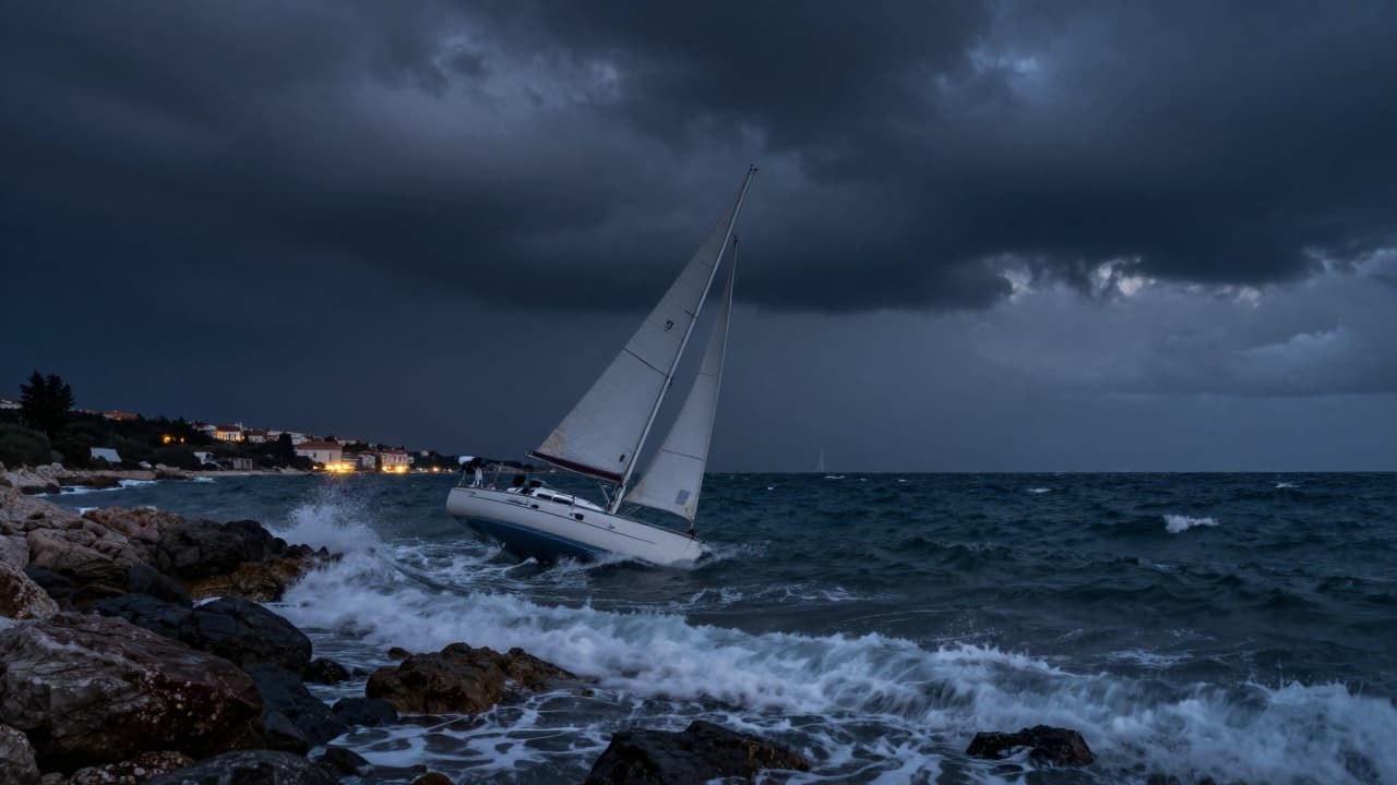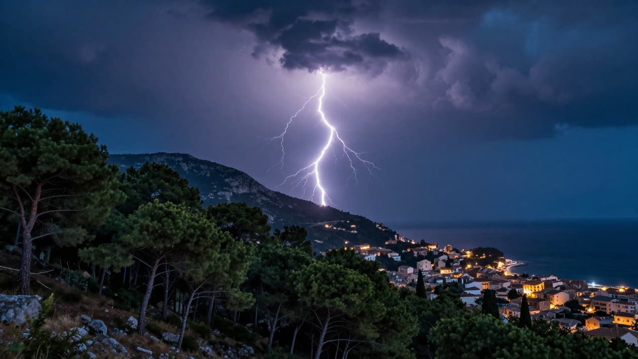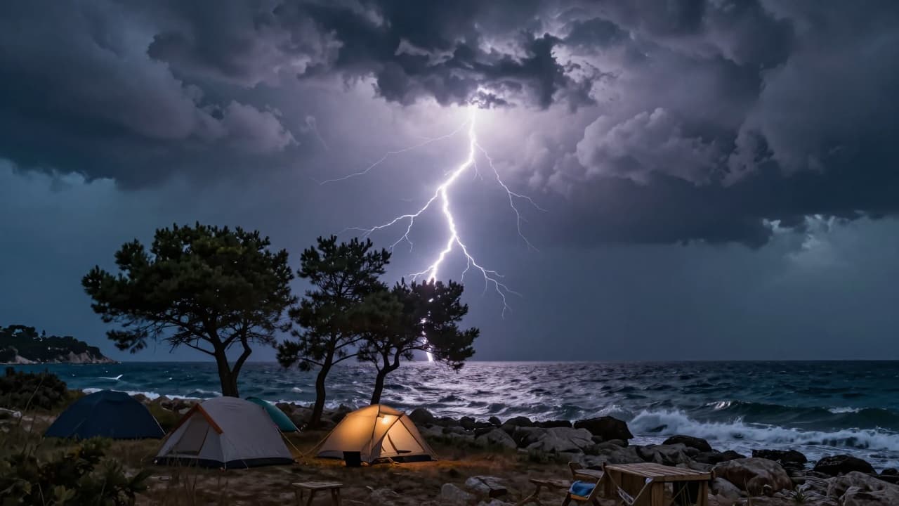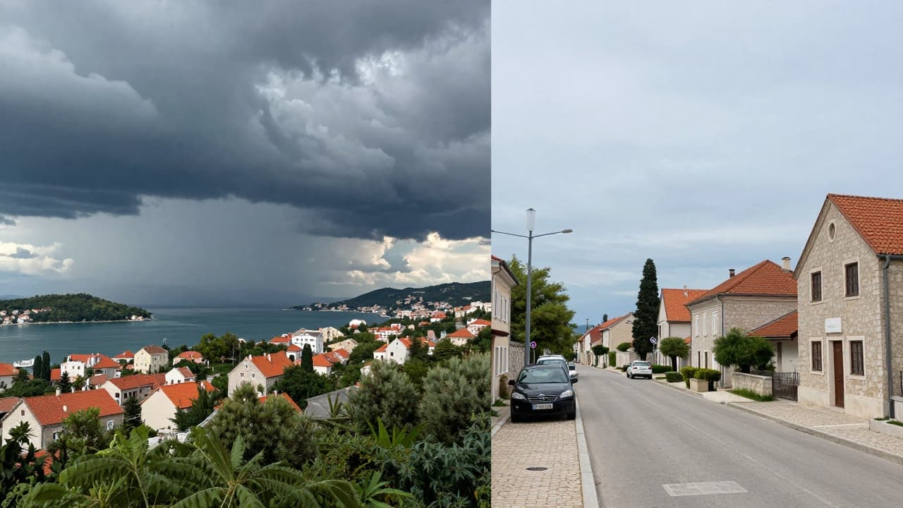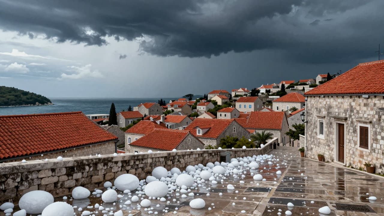
Intense thunderstorms with walnut-sized hail struck Istria and parts of the Dalmatian hinterland on Tuesday morning. The worst affected areas were Rovinj and Kanfanar, where, according to information from the IstraMet service, there were minor injuries alongside material damage.
A cyclone abruptly ended a period of stable and very hot weather. The change arrived after several days of heatwaves, initially hitting the western coast of Istria.
Alongside the hail, large amounts of rain fell in a very short time, making roads difficult to navigate in places. Parts of Rovinj turned white with ice in just a few minutes, and residents posted photos and videos of the storm on social media. According to Novi List, ice balls with a diameter of more than five centimetres fell in the Rovinj area.
The ice did not spare Dalmatia either. Hail struck the wider Sinj and Imotski areas, falling in Sinj itself, Trilj, Turjaci, Brnaze, and the surroundings of Imotski. Initial reports from the ground indicate damage to cars and agricultural crops.
During the morning, the storm moved further towards the coast. The city of Rijeka announced that an intense thunderstorm system was moving from the west across southern Istria and the Kvarner islands, and that city services were on standby. The Croatian Meteorological and Hydrological Service (DHMZ) warned of possible heavy rainfall in a short period, gale-force wind gusts, and local hail.
Unstable weather will continue for the rest of the day. Meteorologists forecast new thunder showers, especially in the afternoon and evening, with the possibility of more intense storms along the Adriatic coast. A weak to moderate bura (northeast wind) will blow, and strengthening of the northerly wind is expected in the afternoon, which may bring gale-force gusts in places.